

Have you ever thought that a simple app could give you a real edge out in the field? Imagine stepping out with a tool that not only marks your legal territories and tracks every step you take but also keeps you updated on sudden weather changes. This isn’t just another maps app, it’s like having a smart sidekick in your pocket that makes your hunt safer and smoother. In this guide, we'll explore key features and review the top picks, showing you how tech can make your outdoor adventures more informed and hassle-free.
Selecting the Right GPS Hunting App for Your Hunt
Choosing a GPS hunting app is a big deal when you’re gearing up for a hunt. It’s not just about having maps on your device, it’s about arming yourself with a smart toolkit that gives you real-time, reliable info wherever you go. Imagine stepping into the field with the confidence of knowing exactly where all your legal hunting grounds are located.
A standout GPS hunting app gives you precise overlays for both private and public lands, plus state-specific game management zones. Take Gaia GPS for example, it offers maps like Gaia Topo, Satellite Imagery, and USFS layers that get updated regularly (even as recent as March 18, 2025). You get cool features like exact waypoint recording, smooth track logging, offline map downloads, and even weather details that keep you informed about wind and forecasts. Ever found yourself saved by offline maps when the signal just wasn’t cutting it? That’s the kind of backup you want.
It’s also super handy when your app plays nicely across all your devices. Whether you’re on a smartphone or tablet, your info should sync effortlessly. With seamless integration on iOS and Android, you can plan your hunt on a desktop and then hop onto your mobile device without missing a beat. Reliable updates, an intuitive design, and quick, friendly customer support are the little touches that make all the difference.
So, when you’re on the lookout for your GPS hunting app, zero in on tools that nail legal land identification, offer robust offline capabilities, and work smoothly across devices. These features help keep your adventure safe, efficient, and a whole lot more enjoyable. Happy hunting!
Comparative Review of Top GPS Hunting Apps

When it comes to GPS hunting apps, there’s a whole world of features waiting to make your outdoor adventures smoother. Each tool has its own unique vibe, from detailed overlays and spot-on waypoint tracking to offline map capabilities, so you can easily find one that fits your game plan perfectly.
Gaia GPS stands out as a favorite, available on both iOS and Android. It offers a rich catalog complete with overlays for private lands, public areas, and game management units. The maps are updated regularly, so you never miss a beat. Plus, you can switch between Gaia Topo, Satellite, and USFS base maps to match the terrain. It’s got that extra edge with its reliable track recording and waypoint logging, making every trip feel exactly on point.
Then there’s onX Hunt, which combines detailed land ownership layers with downloaded offline maps for those no-signal zones. With a user-friendly, subscription-based model, it brings finely tuned custom maps right to your fingertips, helping you navigate property boundaries like a pro. Its smart offline features and easy-to-use interface make it a top pick if detailed land data and real-time adjustments are what you need.
Other contenders like HuntStand and MapRight give you the basics without the frills. They offer free features for essential boundary marking and waypoint logging, with in-app upgrades available for extra bells and whistles. Their simplicity and cross-device support cater especially well to budget-minded hunters who appreciate straightforward functionality.
| App Name | Key Features | Price Model | Offline Support |
|---|---|---|---|
| Gaia GPS | Rich overlay catalog, reliable track & waypoint recording, customizable base maps | One-time/Subscription | Full offline maps |
| onX Hunt | Detailed land ownership layers, custom map layers, smart offline cache | Subscription | Robust offline support |
| HuntStand/MapRight | Essential boundaries, waypoint logging, upgrade options | Free with in-app upgrades | Limited offline capabilities |
In short, if you’re all about having detailed overlay info and regular updates, Gaia GPS is a solid choice. On the other hand, if you need in-depth property data and a sleek customization experience, onX Hunt might be your go-to. Pick the app that vibes best with your hunting style and device, and get ready to enjoy a smarter, more connected experience in the field.
Step-by-Step Setup of Your GPS Hunting App
Let’s get your GPS hunting app ready so it works like a charm across all your devices. By setting it up properly, you'll enjoy real-time updates, reliable offline maps, and an interface that feels just right for your outdoor adventures.
- First, download the app from the Apple App Store or Google Play and sign up for a new account.
- Then, enable hunting catalog overlays and choose base maps like Gaia Topo, Satellite Imagery, or USFS layers.
- Next, download offline map segments for your area and turn on automatic sync so you never miss a beat.
- Adjust your measurement units, calibrate the compass, and be sure to grant all necessary location permissions.
- Also, activate cloud sync to keep your devices connected and your in-app maps updated.
- Finally, check that automatic update functions are on so you always get the latest improvements.
Before you head out, take a moment to double-check each setting by revisiting synchronization and update options. Testing everything in advance makes sure your navigational data stays precise and in sync across devices, leaving you more confident and ready for a smart, efficient hunt.
Pre-Scouting and Route Planning with GPS Hunting Apps
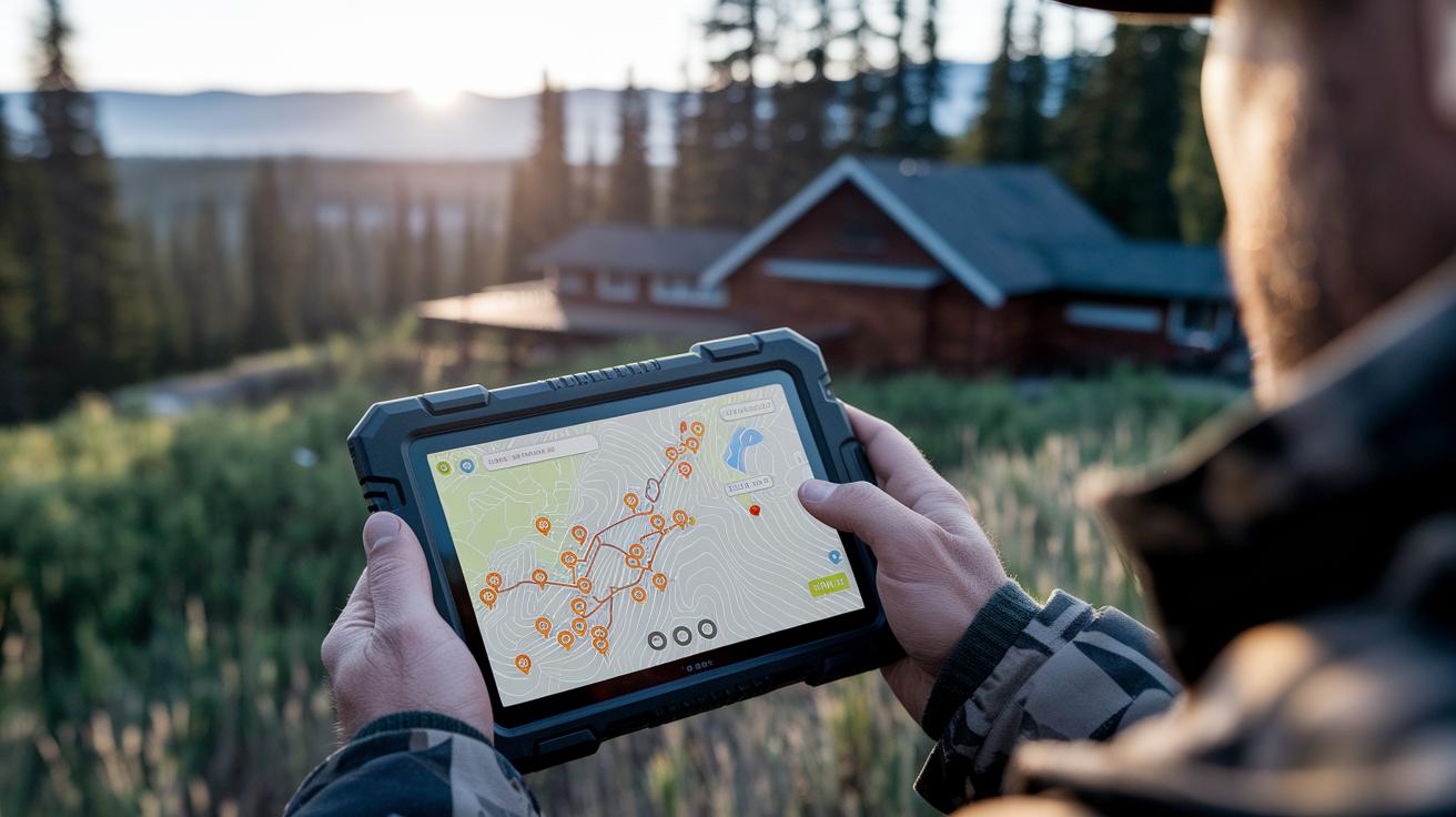
Before you hit the field, it's a smart move to map out your hunt using GPS hunting apps. Imagine opening a crisp, detailed topographic map on your desktop or phone and marking spots like food sources, water holes, bedding areas, access roads, and stand locations. This early planning can really help minimize surprises and keep you safe once you're out there.
By layering custom data onto your map, the kind that includes historical imagery and specialized overlays for things like feeding plots or state management areas, you’ll gain insight into seasonal patterns. This helps you pick out the best spots for your stand. You can even drop in virtual waypoints to track signs, game movement, or previous successful kill sites. Think of it as setting pin after pin on a canvas that mirrors the real terrain.
And don’t worry about lugging around outdated maps. Many apps let you sync your desktop plans straight to your mobile device, so your carefully marked points are always with you. This real-time data transfer means you can tweak your route on the fly, balancing digital clarity with the hands-on feel of traditional scouting.
Leveraging Offline Maps in GPS Hunting Apps: Cellular vs. Offline Cartography
Ever been out on a hunt only to find your map disappearing just when you need it most? Relying solely on cellular data might seem smart with its real-time updates, but in remote areas, that connection can vanish in a heartbeat. And let’s be honest, watching your battery drain because of continuous live updates is a real bummer when you're deep in the field.
Instead, plan ahead by pre-downloading offline maps for your hunting zones. Apps like Gaia GPS and onX Hunt let you save high-resolution topographic and satellite views right on your device, so you're not scrambling for data when a signal fades. Keep your offline maps current by updating them with new trails and terrain changes. This simple step ensures you have smooth navigation, a healthier battery, and a dependable guide through those signal-deprived stretches.
Real-Time Tracking, Waypoints, and Weather Integration in GPS Hunting Apps
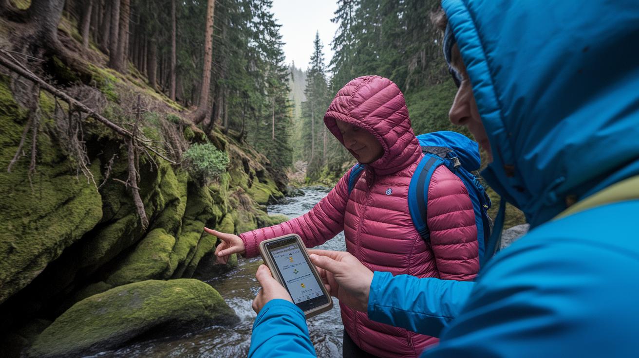
GPS hunting apps bring together live tracking features, from up-to-the-minute location details to on-the-fly weather updates, to give you solid support in the field. If you’re looking for deeper insights on logging waypoints, recording tracks, or setting up weather alerts, our previous guides and reviews have you covered.
Waypoint Logging
Keep track of the spots you need by quickly logging and labeling important field points. For example, a short note like "Fresh sign spotted – check back later" can make all the difference. And if you’re in the mood to share this location data with your crew, you’ll find our in-depth analyses offer more tips and tricks.
Track Recording
Capture your entire route as you go. This continuous recording isn’t just for show, the synchronized track files with desktop maps help ensure you’ve got a reliable record, even when the terrain gets tricky. We’ve laid out all the details elsewhere, but for now, just know this feature bolsters your overall field experience.
Weather and Wind Integration
Stay ahead of the game with real-time updates on wind direction, speed, and sudden temperature changes. Some apps even throw in crisis alerts when conditions start to turn rough. Curious about the technical side of things? Our advanced setup guide dives into all the nitty-gritty, ensuring you’re prepared when Mother Nature surprises you.
These smart features round out your hunting toolkit, boosting your situational awareness and safety with live, actionable updates, perfect for those moments when every second counts.
Battery Optimization and Backup Strategies for GPS Hunting Apps
When you’re out hunting in the cold with your GPS tracking on, your smartphone can lose battery power in a flash. The constant mapping, screen use, and background apps all chip away at your battery life, leaving you stranded when you least expect it.
You can fight back by adjusting your in-app settings. Try enabling battery-saving features, dialing down your screen brightness, and disabling sensors you’re not using. Plus, closing any extra apps and cutting back on live updates will help your device last longer during your adventures.
But relying solely on your device’s software isn’t enough. Always pack some backup power. A portable power bank, a solar charger, or even a GPS gadget with AA batteries can be a lifesaver when your main device starts to falter.
Before you head out, do a quick power check: make sure battery saver is on, brightness is low, unnecessary sensors and background apps are off, and you’ve got your backup gear ready. These simple steps ensure that you stay powered throughout every twist and turn in your journey.
GPS Hunting App Guide: Elevate Your Hunt
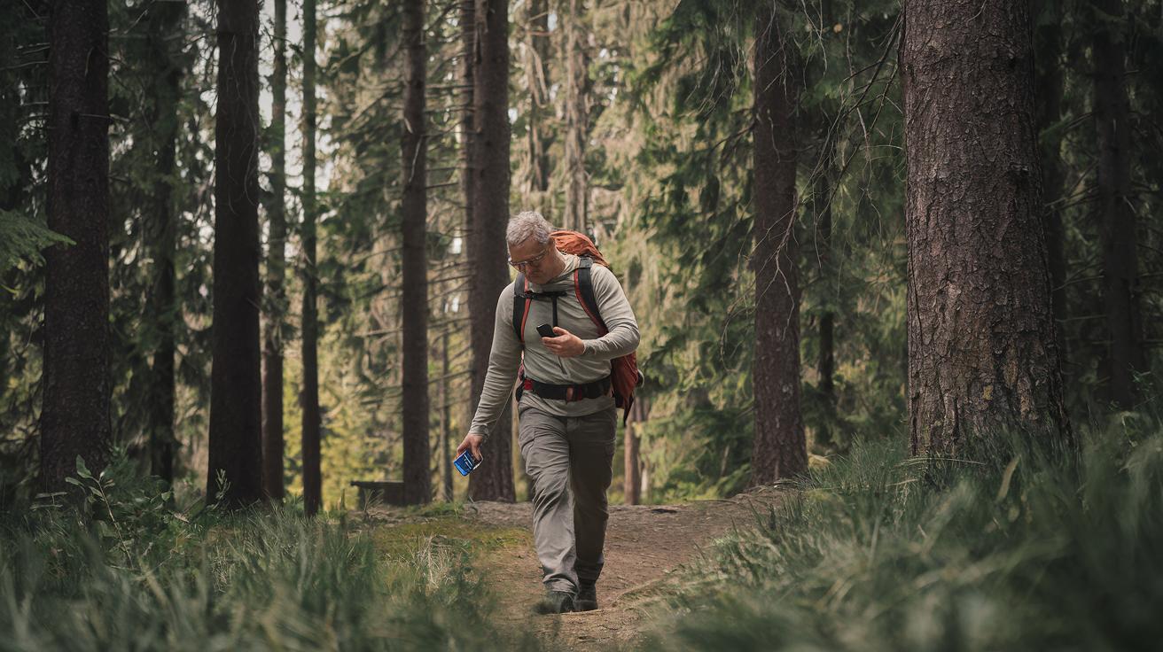
When you're out in the field, it's easy to run into a few hiccups that might throw off your navigation. Ever been deep in the wild only to lose signal under dense trees or rugged landscapes? That can happen when your compass loses its calibration or the app struggles to update maps because of patchy connectivity. Sometimes, maps might take their sweet time loading, often due to an overloaded cache or outdated offline data. And yep, subscription or login issues can pop up, but a quick sign-out and sign-in usually does the trick.
Here’s a friendly guide to get you back on track:
- First, recalibrate your device’s compass and give airplane mode a quick toggle. This can help realign your GPS signal when you’re facing interference.
- Next, clear the app’s cache or re-download your offline map areas. Doing so refreshes your mapping data and keeps everything running smoothly.
- Don’t forget to check for any available software updates, these often fix bugs that might be causing unexpected crashes.
- If you're wrestling with login glitches, try signing out and back in, or reinstall the app. This resets your user credentials and helps the app get back in sync with your needs.
By first diagnosing the issue and then applying these straightforward fixes, you’ll maintain a steady and reliable GPS hunting experience, keeping you confident and on-target for your next big adventure.
Final Words
In the action, our guide led you through selecting and comparing top GPS hunting apps, detailing setup, pre-scouting, and offline map use. We broke down key tracking features, battery tips, and troubleshooting to help boost your hunting confidence. Each step was crafted to turn tech into a practical tool for your adventure. This gps hunting app guide puts you in control of your hunt, making every step smoother and safer. Enjoy trying these insights, and here’s to smarter, safer outings ahead!
FAQ
What are some top free GPS hunting app guides and free hunting apps that show property lines?
The free GPS hunting app guides provide instructions on using apps that display property lines and essential maps. These guides help you maximize free features for planning your hunt efficiently.
How do I download, use, and understand the cost of the onX Hunt app?
The onX Hunt app can be downloaded from major app stores, and in-app instructions guide its usage. It operates on a subscription basis, though occasional free trials might let you explore its detailed mapping tools before committing.
What is the most accurate hunting app available?
The most accurate hunting app often depends on your needs, but apps like Gaia GPS and onX Hunt are praised for their precise overlays and updated data that help you confidently navigate legal hunting grounds.
What is the onX app controversy about?
The onX app controversy focuses on concerns over data privacy and subscription fees. Some users question whether the cost aligns with its detailed mapping features, while others find its comprehensive land overlays indispensable.
Can I use my phone as a hunting GPS?
Your phone can act as a hunting GPS with modern apps that support offline maps, waypoint tracking, and real-time updates. This offers convenience in the field, though always have a backup power solution on hand.
Which is better, onX Hunt or HuntWise?
Choosing between onX Hunt and HuntWise comes down to your priorities. onX Hunt offers in-depth property overlays and customization, while HuntWise provides basic functions with upgrade options. Evaluate which features align with your hunting style.